Today was the second part of the ride towards the EuroVelo 6 route. It was longer and with some unusual terrain.
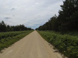
When planning this route I specified the start and end points and trusted the RideWithGps would come up with a bike-friendly route. Usually it picks good roads but this time it picked some crazy sections such as mountain bike downhill single track (which I had to hike-a-bike uphill) and some non-existent forest roads (which I had to detour).
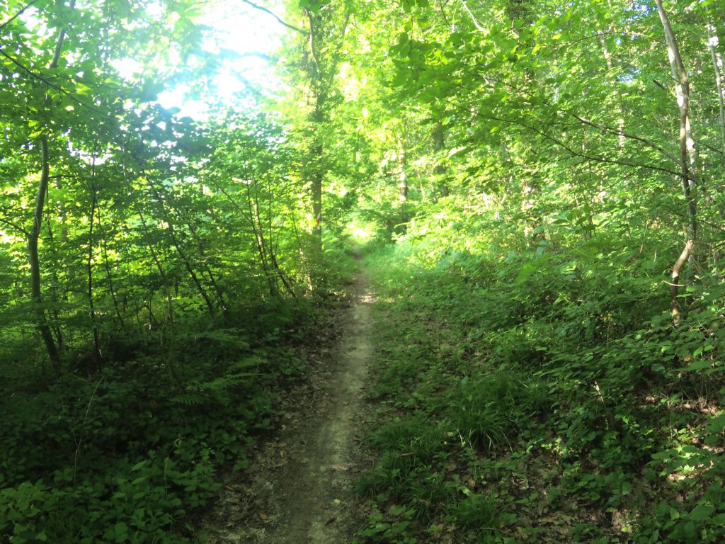
Other than that it was a good ride. There were not many cars on the road and the ones that were there gave me plenty of space.
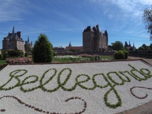
I have reached the EuroVelo 6 route in the town of Sully-sur-Loire. Now I will follow it East along the Loire river towards Switzerland.

63 miles and 1500 ft climbing in 5 hours with single track in there is good timing, especially with all your gear. You must be in good shape! Now you follow the river the rest of the way, right?
I guess that was the biggest elevation for a single ride during my trip :). Now I just follow the rivers and channels so the rides are very flat.